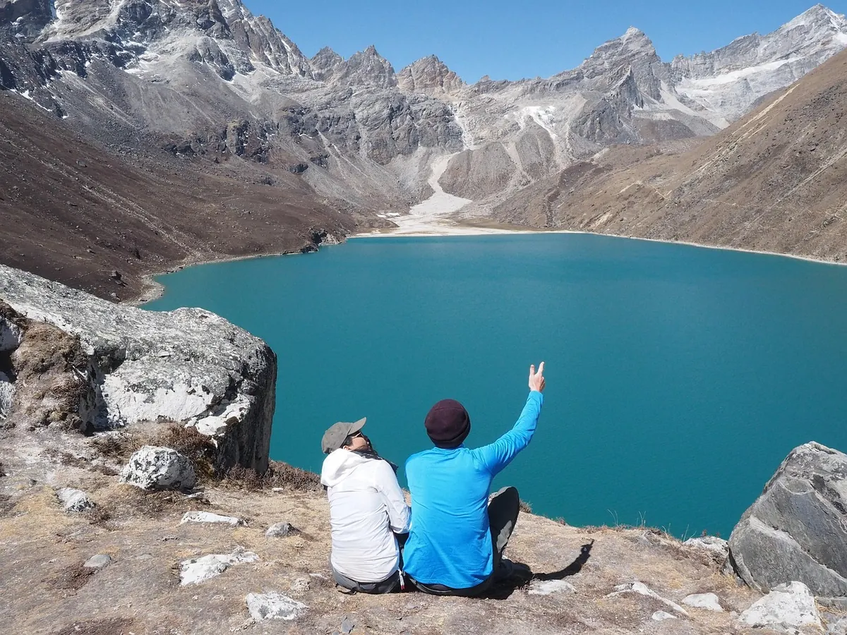
Stand at the lip of a hollow high in the Glyderau and the vocabulary arrives before the evidence does: cirque, arête, roche moutonnée. The words are satisfying, and that is precisely the trouble. Glacial erosion features are among the most confidently misidentified landforms in Britain, partly because ice reworked a landscape that was already complicated, and partly because several of these features look convincingly like something else. What follows are the errors that turn up most often in field notebooks, student reports and the occasional guidebook — and the checks that catch them.
Ice erodes in two ways: abrasion, which smooths and scratches, and plucking or quarrying, which prises blocks away from the lee side of an obstacle. Both are directional and selective. Ice rarely builds a landform from nothing; it reshapes what was already there, favouring weak beds, joints and pre-glacial valleys.
Two habits follow from that. First, ask what else could have produced the shape — landslip, running water, frost, faulting, quarrying — before reaching for the glacial explanation. Second, treat direction as evidence, not decoration. Most of the classic misreadings come from reading a shape without reading which way the ice was going.
It also helps to keep erosion and deposition apart. Drumlins, eskers and moraines are built of debris, not carved from bedrock. Mixing them into a list of erosional features is the first sign that a description has gone loose.
A genuine cirque — corrie in Scotland, cwm in Wales — has a recognisable set of ingredients, and most misidentified hollows are missing at least two of them:
Many British cirques face between north and east, where snow lingered longest, though plenty of exceptions exist and aspect alone proves nothing.
The imitators are numerous. A landslide scar has a back scarp rather than a headwall, with hummocky debris piled below it. A nivation hollow is shallow, with no threshold and no rock basin. A stream-cut hollow narrows to a V and lacks any lip. An old quarry or mine working shows spoil, straight faces and perhaps an adit. A scree bowl beneath a crag is depositional — you are looking at what fell off, not what was carved out. Some hollows are simply structural, eroded where a soft bed happened to sit. Unless the threshold and over-deepening are there, be cautious about the label.
An arête is the narrow crest left between two glacial troughs or two cirques that have eaten into the same ridge from opposite sides. So the diagnostic question is not "is it narrow?" but "is there a glacially deepened hollow on both flanks?"
If the answer is no, consider alternatives. A dyke of resistant igneous rock can stand proud as a wall-like ridge that has nothing to do with ice — check whether the rock type changes at the ridge and matches on either side. A fault-guided ridge is often straighter and cuts across the local grain of the topography. An esker is a sinuous ridge of sand and gravel running along a valley floor, a deposit rather than a remnant. Two ordinary stream valleys can leave a thin interfluve between them, but those valleys will be V-shaped and not over-deepened.
One further point is often missed. The jagged crest of a British arête is largely the work of frost shattering and rockfall since the ice left, not of glacial erosion itself. It is the flanks that record the ice. Striding Edge and Swirral Edge on Helvellyn, or the Aonach Eagach in Glencoe, are crests to read from below as much as from on top.
These asymmetric bedrock humps have a gently sloping, smoothed, abraded side facing up-ice and a steeper, plucked, quarried face pointing down-ice. The French name refers to the sheep's-wool wigs of the period, which the rounded backs supposedly resemble.
The commonest mistake by a wide margin is reversing the direction. Ice rode up the gentle slope and tore blocks away on the far side, so the smooth flank faces the source of the ice. Getting this backwards inverts your whole reconstruction of flow. Four further confusions are worth naming:
Not every steep-sided valley is glacial. Look for over-deepening — a floor that rises in steps downstream — truncated spurs alternating from side to side, hanging valleys, and above all a misfit stream: a modest river wandering along the floor of an enormous valley it could not possibly have cut. A U-shaped profile on its own proves little, since valleys follow weak beds, and a single ice advance may simply have tidied up a pre-glacial valley. Drowned valleys along the western coasts owe their shape to the sea, not to ice.
Striations are the most direct evidence of ice flow, but they have imitators: bedding planes and sedimentary lineation, joint surfaces, polished and slickensided fault planes, and modern drill scars in quarried rock. True striations cut across the rock's internal structure, occur in sets, and usually sit on an abraded surface with chatter marks and crescentic gouges. They give direction, though not always a clear sense of polarity.
Getting a landform wrong is not a failure of nerve; it is what happens when you name a shape before you have walked around it. The landscape here is a palimpsest, written over by ice, frost, water and people, and the honest answer is sometimes that the evidence is ambiguous. Say that in your notes, keep the alternatives visible, and the identifications you do commit to will hold up far better in the long run.
Photo: scottinthailand / Pixabay